Seattle to Ebey’s Landing: choose the crossing before the island itinerary
An island trip has two route designs hiding inside it: reaching the island and moving around the destination. For a short Seattle-area break to Ebey’s Landing on Whidbey Island, choose the crossing strategy first. A ferry journey and a northern bridge approach can lead to the same reserve while creating very different day structures.
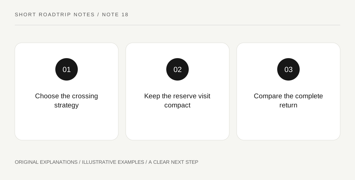
Original explanatory diagram. Read the full method and limitations below.
Compare complete approaches
The official directions describe a northern vehicle approach via Deception Pass and ferry approaches serving Whidbey Island. Compare each complete journey from your actual starting point, including the onward drive on the island and the return. Do not compare only a ferry crossing duration with a bridge’s physical length. Those fragments leave out queues, connecting roads and where the visit begins. An approach is useful when it supports the whole outing, not merely when one segment looks scenic in isolation.
Treat ferry service as an operator arrangement
If the selected route uses a ferry, check the current service, vehicle conditions and any reservation arrangements for that specific crossing. Different routes can have different procedures. Put the actual terminal names in the itinerary and keep a fallback decision understandable to everyone. An older park description provides geographic context but should not become a promise of a departure frequency or a place on a sailing. The same care belongs in the homeward crossing, not only the outward journey.
Give the reserve a focused purpose
Choose a modest public-land or town-based experience appropriate for the current conditions and your group. Official reserve maps distinguish public and private lands, so do not treat an appealing field, shore edge or driveway as general visitor access. A useful outing can study the relationship between a town and its landscape from permitted places. Give the destination its own attention rather than spending the entire day arranging crossings and calling the island drive the visit.
Do not make a different return obligatory
A bridge-out, ferry-back circuit can be attractive, but its apparent neatness is not enough reason to require it. Compare the entire return after the main visit and choose the version that remains comfortable. If a crossing becomes impractical, the group should know which part of the outing will change. Keeping the reserve visit compact makes that adjustment easier. A short island break is more resilient when one transport choice does not force every later stop to occur exactly as originally imagined.
An illustrative route decision
Imagine a Seattle group comparing a ferry approach with a northern bridge journey on paper. They choose one, verify the operator-specific requirements if a ferry is involved, and plan a compact reserve visit using the public/private-land map. Their return remains a deliberate choice rather than a compulsory scenic circuit. The example does not supply sailing times, guarantee vehicle capacity or treat an occupied landscape as unrestricted visitor ground.
Questions that come up
Is a ferry the only way to reach the reserve by car?
No. The official directions also describe the northern bridge approach. Compare the complete journey from your departure point instead of assuming an island visit always requires a ferry.
Can a different return crossing be added at the last minute?
It is another transport decision with its own route and conditions. Evaluate it while parked and consult current operator information rather than treating it as a guaranteed shortcut.
References and scope
These sources support the factual background. Examples and exercises are original illustrative teaching material. References do not imply endorsement.
- National Park Service — Ebey’s Landing: directions — Whidbey Island bridge and ferry approaches and public/private-land map context.