Philadelphia to Valley Forge: give the car and the visitor different paces
A landscape-scale historic park is not best understood entirely through a windscreen or entirely through a hurried march. For a short outing from Philadelphia to Valley Forge, divide the visit into arrival, orientation and a few deliberate stops. The car connects places; the visitor needs time to understand what those places mean.
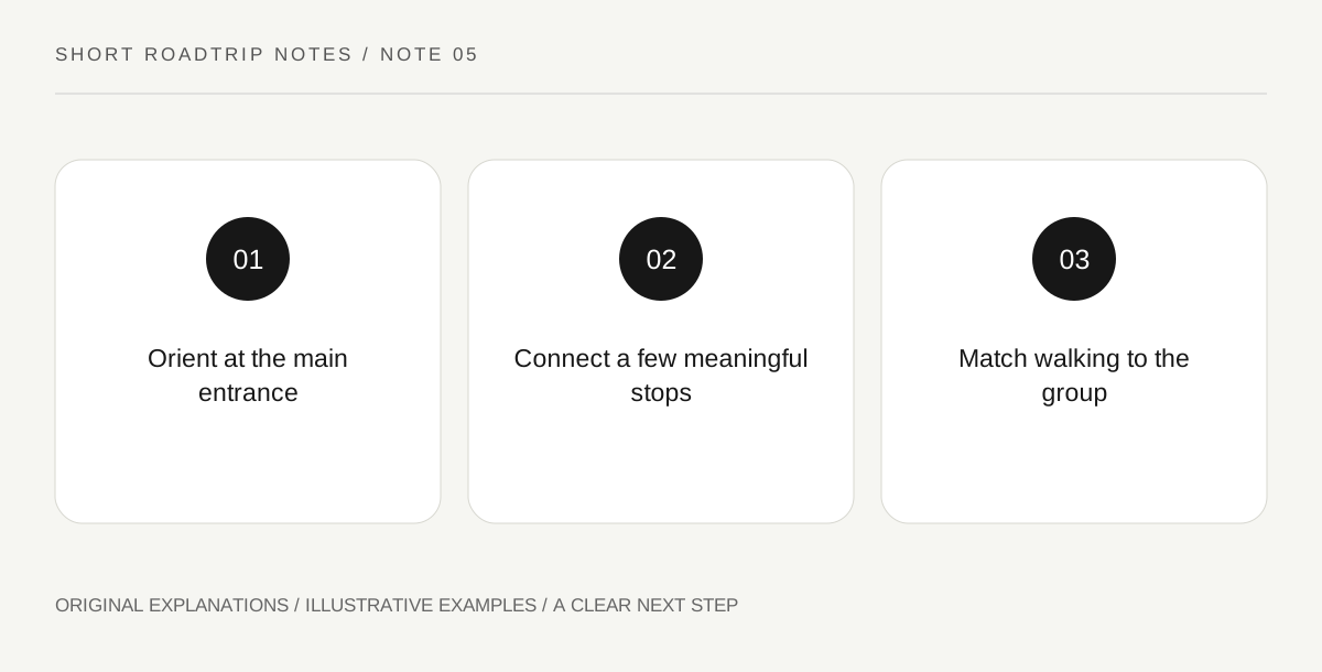
Original explanatory diagram. Read the full method and limitations below.
Use the public arrival point
The park’s official directions identify the main entrance near the visitor center and give location-specific information. Save that approach rather than a random historic feature as the first destination. Starting with orientation lets the group distinguish a landscape route from an interior visit or a particular interpreted stop. It also creates a useful meeting point if people arrive in separate cars. A shared park name alone is not enough to coordinate a group across a large site.
Select a question for the landscape
Choose one thread for the visit, such as the relationship between a mapped location and its surrounding ground, or the difference between a reconstructed feature and the interpretation explaining it. Read the relevant information before treating a structure as self-explanatory. A question gives short stops a connection without demanding an exhaustive route. Passengers can compare their observations during parked pauses, leaving the driver free to concentrate while the car is moving between designated stopping places.
Do not transfer bus restrictions to guesswork
Official transportation guidance lists places where buses have difficulties or are prohibited. If your group uses a large vehicle, treat those instructions as part of the route design rather than a footnote. A turn that suits a family car may not suit another vehicle. Likewise, a designated passenger drop-off is not necessarily a place to wait. Agree where the driver will park and how the group will reunite before anyone leaves the vehicle.
Make walking an intentional component
Choose walking segments for the people attending, with surfaces, gradients and distances checked for the actual route. A brief, focused stop can be more useful than promising a long walk merely because the park appears green on the map. Record what each segment adds: orientation, a specific interpretation, or a pause. At the end, compare what was learned with the original question. The drive back toward Philadelphia then closes a visit rather than completing an unfinished attraction count.
An illustrative route decision
An illustrative group plan starts at the visitor center, selects two connected interpretation stops and leaves a longer walk optional. One traveler needs a shorter walking segment, so the group keeps the same historical question while changing how it moves between places. A larger-vehicle driver uses the operator’s specific restrictions when choosing parking. The example is a planning method, not a claim that any route, building or service is open today.
Questions that come up
Does a short stop mean a shallow visit?
Not necessarily. A specific question and attentive reading can connect a small number of stops. Depth depends on what you examine, not solely on walking distance or the number of photographs.
Can a car route be copied for a group bus?
No. Use the park’s vehicle-specific guidance. Road geometry, stopping arrangements and restrictions can make the same sequence unsuitable for a larger vehicle.
References and scope
These sources support the factual background. Examples and exercises are original illustrative teaching material. References do not imply endorsement.
- National Park Service — Valley Forge: directions and transportation — Main entrance, visitor-center arrival and vehicle-specific limitations.