Las Vegas to Lake Mead: choose a paved-road visit with a clear endpoint
A large recreation area near a city can look like an easy extra on a travel itinerary. Lake Mead still requires a destination choice: different entrances, developed places and road types do not form one compact attraction. For a short Las Vegas-area outing, build a modest paved-road visit and decide where it ends before the car leaves the city.
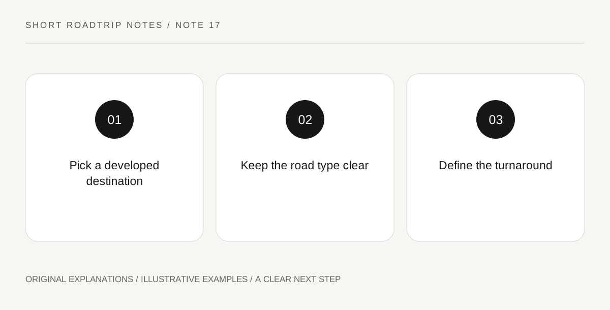
Original explanatory diagram. Read the full method and limitations below.
Replace the broad lake pin
Official information describes multiple entrance stations and directs travelers to park maps. Choose the actual entrance and developed destination for the visit you intend, then compare the approach from your Las Vegas-area departure. A reservoir name is not a sufficient arrival instruction. Write whether the aim is landscape viewing, interpretation or a separately arranged activity. This keeps the driver, passengers and anyone meeting the group from quietly picturing different parts of a very large area.
Keep road type visible
The National Park Service distinguishes well-maintained paved access from backcountry dirt and gravel roads. For this short-break concept, stay with an appropriate current paved-road plan rather than adding a backcountry line because a map suggests a shortcut. A rental category or a vehicle’s appearance is not proof that every marked route is suitable. If a proposed destination requires another road type, treat that as a different trip needing its own assessment instead of a casual extension to the afternoon.
Do not infer a water activity from a view
A road-accessible landscape stop does not establish a suitable launch, shoreline entry or on-water experience. Keep those activities separate and use current operator information for their access and conditions. The land-based visit should have its own purpose so it does not depend on an unarranged activity becoming available on arrival. Choose permitted stopping places and give the group time to look, read and pause without improvising a descent or a drive away from the designated route.
Choose an endpoint before optional touring
A developed destination can be the turnaround point for a complete outing. Before adding another arm of the recreation area, sketch its full road connection and the journey back toward Las Vegas. Repeatedly chasing a different view can add more driving than the group expected. Keep current desert conditions central to the decision about any outdoor component. Shortening or canceling that component is a legitimate change; it should not force the driver into another road merely to maintain a prewritten attraction count.
An illustrative route decision
In an illustrative Las Vegas departure, travelers select one entrance and one developed land-based stop from the current map. They leave a gravel-road suggestion off the plan because it requires a separate vehicle and conditions assessment. Their endpoint is explicit, and a water activity is not assumed. They return after the main visit unless a genuinely useful second stop still fits. No specific access, weather condition or lake activity is guaranteed.
Questions that come up
Is every road near the shoreline an ordinary scenic drive?
No. The park distinguishes paved roads from backcountry routes and regulates where vehicles may travel. Use the current map and controls rather than assuming a visible line is a suitable shortcut.
Must a lake visit include entering the water?
No. Landscape observation or interpretation can be the whole outing. Water access and activity suitability require separate information and should not be inferred from a convenient road arrival.
References and scope
These sources support the factual background. Examples and exercises are original illustrative teaching material. References do not imply endorsement.
- National Park Service — Lake Mead: directions and transportation — Multiple entrances, paved and backcountry road distinction and desert travel context.